Aerial Photography

WalkthruPhoto uses advanced DJI drones and cutting edge Google Earth services to cover you from the skies as well as the ground when marketing and photographing your listing. WalkthruPhoto is a licensed commercial operator offering drone photos and video at competitive prices as well as drone overlays, Neighborhood views also point out local points of interest and show distance from your favorite venues or popular stops.

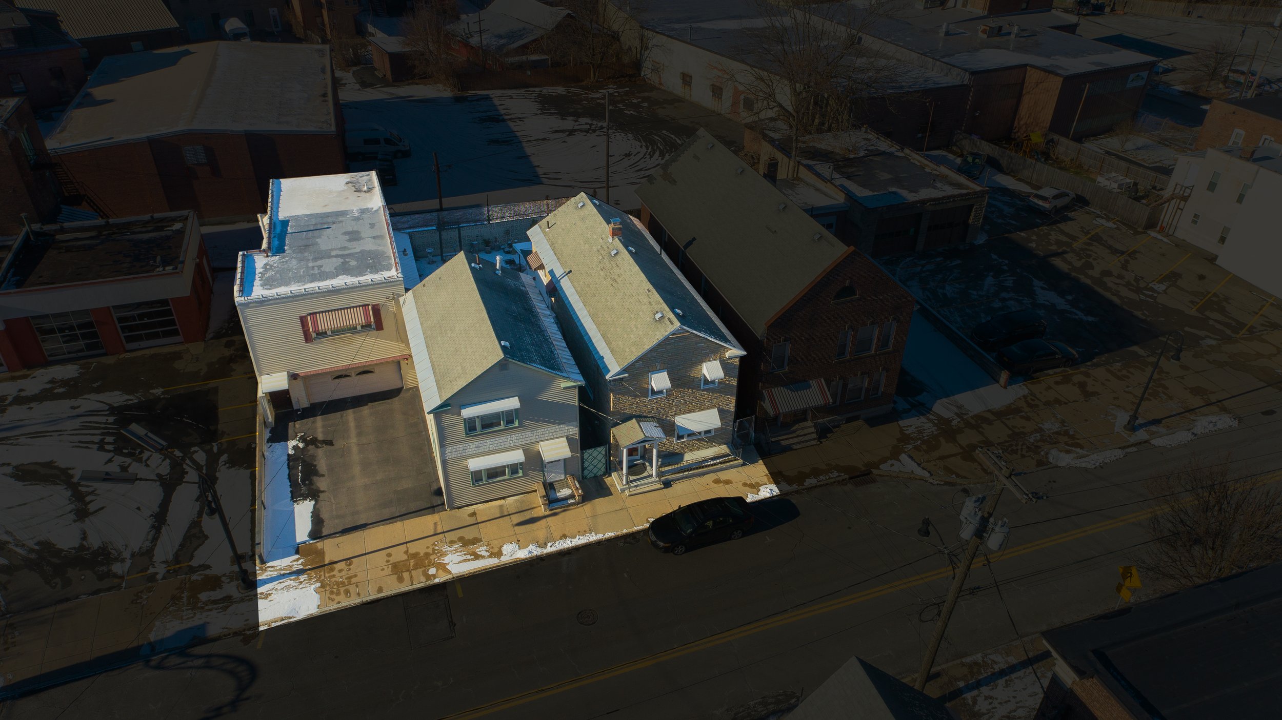
Click for a higher quality version.


Introducing, Neighborhood View. The best way to get a bird’s eye view when a drone is not legally allowed or is not practical. The FAA limits drones to 400ft at best. Limited no longer, we offer Neighborhood View to businesses new or established who wants to highlight areas or see a potential move is a dynamic way.

WalkthruPhoto also offers Drone Overlays both for stills and video. Want to highlight your property or add property lines or more? WalkthruPhoto has you covered from the skies and behind the computer screen.